A stretch of coast with no shelter
Our position is 58:55.938N 05:34.586E Distance covered 38.9 Nm All the books mention the longish stretch between Egersund and Tananger because the seas can be rough and there are no harbours of refuge for 40 Nm. When we set off from Egersund, early on Monday morning, it was calm and sunny. Unlike most of the places we had been, there was a lot of commercial activity, people were awake and going about their business, there were even other boats leaving the marina, also heading for Tananger.
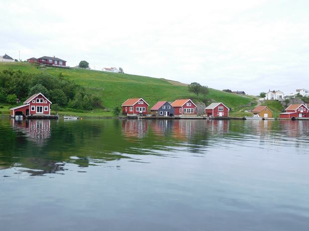
We took the northern route out of the islands round Egersund , going under a 22m bridge and winding through the deeper water channels between green fields and small houses. Once in the open sea it was a very uneventful trip. The group of yachts soon split up as the bigger, faster boats disappeared into the distance as we motor-sailed with the main up in company with the smaller members of the party.
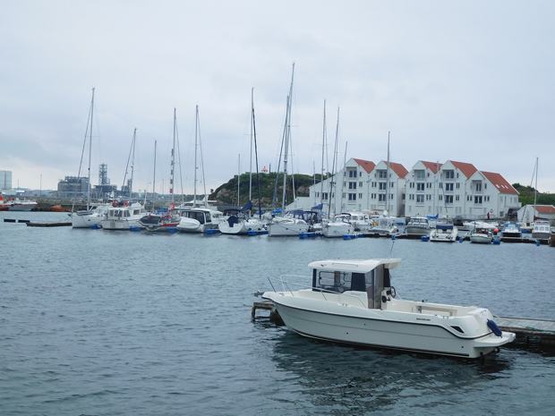
Closing the islands off the approaches to Tananger seals were spotted but they were very elusive and the vessels providing support to the oil rigs were much more plentiful. When we arrived at the marina, Tor from In Transit, who had been with us at Mandal, Rasvag, and Egersund was waiting to help us tie up and we were next to Willing, which had also been in Rasvag, so it was very convivial.
These flat decked boats were everywhere but not all went for the decorations
It was our intention to stay while the strong north westerlies passed so we went out to investigate the busses to Stavanger but it came on to rain so we hurried back to the boat.
|